


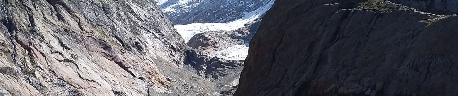
Glacier Tré la Têt

jcboutin
User


Length
13.5 km

Max alt
2071 m

Uphill gradient
902 m
Km-Effort
26 km

Min alt
1186 m

Downhill gradient
902 m
Boucle
Yes
Creation date :
2023-09-25 07:35:31.821
Updated on :
2023-11-09 16:37:10.71
6h25
Difficulty : Difficult

FREE GPS app for hiking
 SityTrail
IGN / Geographical institutes
SityTrail Plus
The world is yours!
About
Trail Walking of 13.5 km to be discovered at Auvergne-Rhône-Alpes, Upper Savoy, Les Contamines-Montjoie. This trail is proposed by jcboutin.
Description
Montée par Combe Noire et descente
par le Cugnon......
Photos

Positioning
Country:
France
Region :
Auvergne-Rhône-Alpes
Department/Province :
Upper Savoy
Municipality :
Les Contamines-Montjoie
Location:
Unknown
Start:(Dec)
Start:(UTM)
322551 ; 5073790 (32T) N.
Comments